The Trail: Abrams Falls via Little Bottoms
The Distance: 10+ miles roundtrip, ~1,500ft elevation gain.
How to get there: (from: http://www.cadescove.net ) Take US 321 from Maryville until you come to Foothill Parkway. Turn right and go to U.S. 129 and turn left. Drive a hundred yards or so and turn left on Happy Valley Road. Travel to the Happy Valley Loop Road and turn right. About a mile down the road you will find parking for the Cooper Road Trail. You must travel a short distance down the Cooper Road trail to reach the Little Bottoms hiking trail. The Cooper Road trail begins at the far end of the campground. Follow the Cooper Road Trail to the Cooper Road Backcountry campground. On the right of the Cooper Road campsite, you will find the beginning of the Little Bottoms hiking trail. Follow the Little Bottoms trail to the Abrams Falls trail and hike it down into Cades Cove.
Abrams Falls is a hot spot for Smoky Mountain Park tourists, and most of the people access it via Cades Cove, which is a 5-mile out and back easy hike. I was surprised to find out that there is another way to reach the falls, via a lesser known trail known as Little Bottoms. This hike is part of the trail system that was shut down for a significant period of time following the outbreak of tornadoes in late April. We thought it would be interesting to see the damage, so we put the trail on our radar and set out one early July morning.

You knew it was coming.

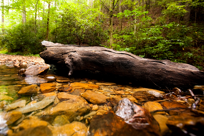
Requisite wildflowers and mossy logs.

Before you reach the official trail, you have to hike through a campground and through an amazing old growth forest with giant towering trees.

The first couple of miles is beautiful with lots of water. In fact, for most of the trail you follow the river.. whether you're right next to it or towering above it!

The water crosses the trail several times. Sometimes, like this photo, it's just a shallow trickle. Sometimes you have a bridge. Sometimes you have to rock-skip your way across!


Shrooms 'n blooms.


We passed backcountry campsite #17. You will never catch me pitching a tent in the backcountry, but there it is!

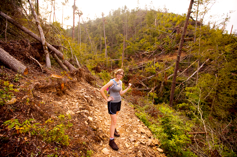
Past the campsite, we began to see the first bits of damage from the tornado.

In many places, you could see where large trees had fallen directly across the trail. No wonder it was closed for so long. Before the trees were cut and the wood relocated, it would have been completely impassable.

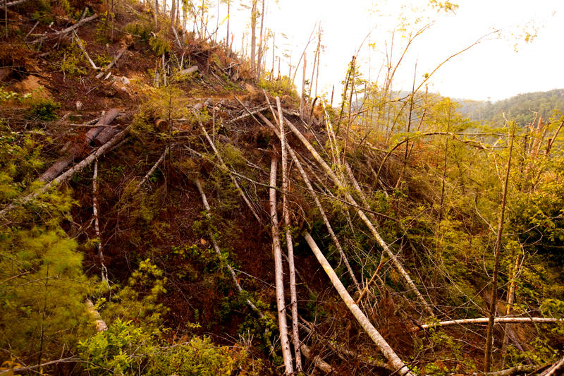
There was a distinct swath of damage across the hillsides that marked the path of the tornado. It was pretty wild.


In places, the trees looked like cornstalks that someone stepped on. Perfectly bent over at the base. Some were attached to huge root balls from being ripped right out of the ground.

We did this hike in late July when there was an "extreme heat" warning for the area. Even though we were on the road before sunrise, it was still a nasty, nasty day. Crossing the streams barefoot offered a bit of relief, since nothing warms up those freezing cold mountain creeks! Ahh..

The typical YOU WILL DIE sign that marks most of the waterfalls in the Park.

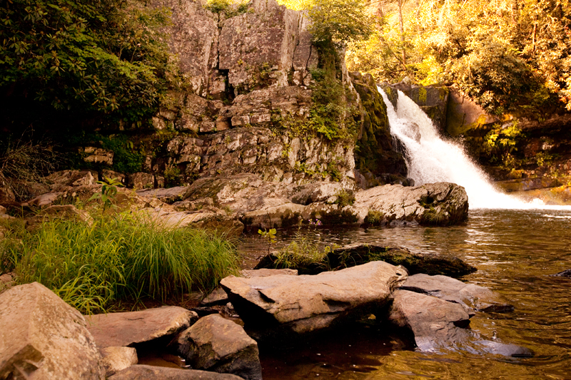
Abrams Falls is unique in that the pool at the bottom is really deep, making it safe to jump right in and swim around! The pool is extremely large, too, which is why it remains a popular trail to take from Cades Cove. That day, we were the only ones who reached the falls via the Little Bottoms route.


It was hard to peel ourselves away from the cool water and start the long, hot trek back to the car, but completing this trail gave us a sense of accomplishment for sure. I may even want to do it again someday!


Say Something About This Post: