
The Trail: Mt. Cammerer Fire Tower
Duration: 12 miles roundtrip
Elevation gain: 2,470 feet
Directions to Trail: At the junction of 441 and 321 in Gatlinburg (Light 3), turn to travel eastbound on 321/73 and drive 18.2 miles until the road dead-ends into Hwy 32. Turn right here towards Cosby, and drive 1.2 miles to the Park entrance. Make a turn to the right into the Park, and drive another 3 miles to the Cosby Campground. The hike to the summit of Mount Cammerer begins from the Low Gap Trailhead, located at the back of the section B area of the campground.
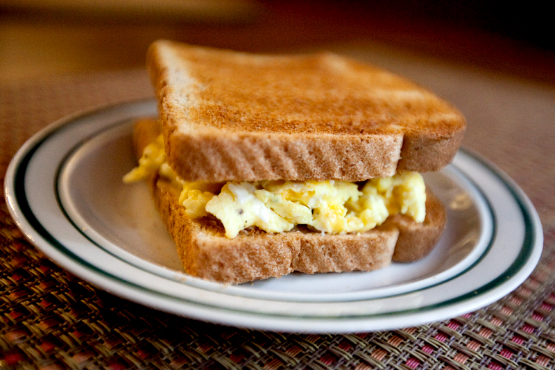
Bam. Egg sammich. You know we wouldn't start our hikes with anything else!

The trail head is smack dab in the middle of a campground.


The first part of the trail is a beautiful stroll through the woods.

Being early October, we were excited for every colored leaf that we saw - especially when we were still at lower elevations!

There's a gorgeous rushing stream near the beginning of the trek.

More hints of color!

And more.. yay! Can it be fall again? Please?

Beautiful light filtering through the trees.

We underestimated how difficult this hike would be. The trail itself is smooth with solid footing, but it's up.. up.. up.. and up some more. Miles 2 and 3 alone each gain around 700-800 feet in elevation! You'll be feeling this one the next day, for sure.

Still some wildflowers in bloom!

Smiling.. but I'm probably panting and leaning most of my weight on those poles when this photo was taken. I. Was. Tired.

The higher we got, the richer the colors became!

 You'll finally reach a crossroads where you hang a left (though it looks like a right in this photo).

A little peek at the valley below.

Starting to see some serious color!


Gahh.. just over a half mile away now!


That last half mile is difficult, with quite a bit of rock scrambling. I have hip flexor issues on the uphill, and it's safe to say I was in a goodly amount of pain in this picture.

Our first glimpse of the tower!

The trees at the top were exploding with color.


There was such an interesting and distinct gradient as the color shifted back into greens at the lower elevations.

Looking down into Cosby. I think.


 We were going to eat outside so we could enjoy the view, but 30mph chilly winds forced us into the tower where we munched on our usual trail vittles.. fluffernutter for me, peanut butter and banana for Matt.


This is my favorite photo from all of our hikes thus far! The 270 degree views at the tower are AMAZING!


Grimacing against the wind.

Yes, I realize absolutely none of my clothes match. When you stumble out of bed before daylight to exert yourself for the next several hours, fashion is not high on your priority list.


The beautiful end of the trail.
If you enjoyed this post and want to read more about our hikes, take a peek under the "Trips" menu at the top of the blog!
Lee Cammerer
Erin and Matt
WOW I can not believe those pictures they are amazing. Can you please tell me where Mt Cammerer is as I cannot believe that it has the same name as my surname. I would love to find out more about this wonderful place, especially as i love to walk and hike. i live in Scotland, UK.
how amazing it is to see so much beauty and have a connection with it. Best wishes Lee.
Andrea
Oh my goodness.. these photos are amazing! Look at those views! I hope you know how lucky you are miss! 🙂 Hiking is one of my favorite things to do in the whole world, and I don't think I've ever seen views like this... breathtaking! & great photography. Pictures 7 + 11 might be my faves.
Kara
I like that photo a lot too! One of the best...
Remi
Purdy!